🏞️ Land of 127,715.520913 hectares
Excellent investment opportunity with usage classification in 3 categories:
1. Mining Regulation Utilization
2. Active Tourist Use
3. Tourist Regulation Utilization
Location 📍: Baja California Peninsula, municipality of Ensenada, 30 Kms from San Luis Gonzaga and 9 Km from Santa Rosalía Highway. Land access 9 Km east of the Trans-Peninsular Highway and Maritime
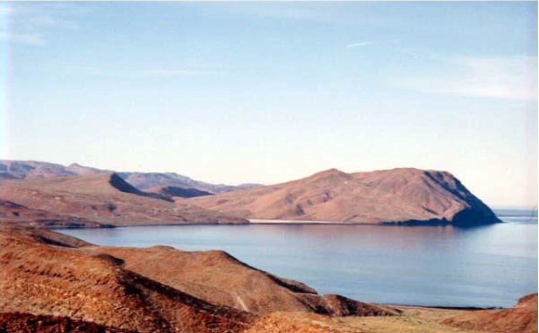
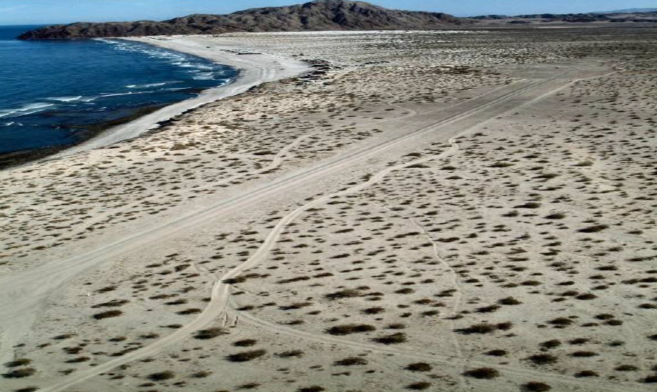
Borders: Gulf of California or Sea of Cortes 62 km from the coastline.
Use: Permitted Mining Exploitation
Mining Title-Concession
Valid Exploitation Title until the Year 2058
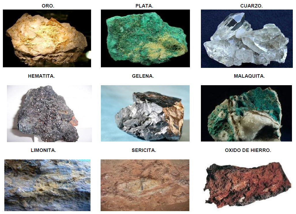
Studies-Proven Reserves: Gold, Silver, Copper, Quartz, Galena, Hematite, Iron Oxide, Limonite, Sericite, Malachite.
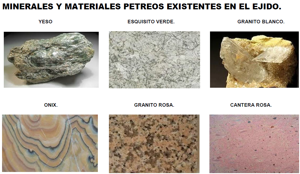
In the Ejido there are deposits of: silver, quartz, hematite, limonite, sericite, malachite, galena, iron oxide, white and pink quarry, gypsum, Onyx, green marble slabs, and other limestone stones and free gold deposits.
The subsoil has Aquifer Mantles, where mineral water could be extracted.
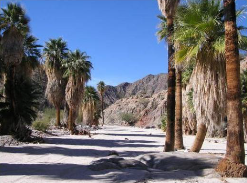
Within the Ejido is the Borreguera Zone, where the "Borrego Cimarrón" currently exists and is practically a virgin area.
It has a duly authorized Landing Strip.
There is an appraisal from 2005 of the land.
Surface area in m2 1,277,150,000
Surface area in Hectares 127,715.520913
Documentation:
- Has 39 titles under custody in notary
- Certificates of Freedom from Liens
- Mining Reports
Information with:
Helen Morán
(+52) 771 189 3334
* The announced price does not include notarial expenses generated by the deed of the property subject to the sale, nor taxes, nor appraisals, expenses, and rights that occur in a sale transaction.
* The price and availability may vary without prior notice.🏞️ Terreno de 127,715.520913 hectáreas
Excelente oportunidad de inversión con clasificación de uso en 3 rubros:
1. Aprovechamiento con Regulación Minera
2. Uso activo turístico
3. Aprovechamiento con Regulación Turística
Ubicación 📍: Península de Baja California, municipio. Ensenada, 30 Kms de San Luis Gonzaga y a 9 Km de Carretera Santa Rosalía. Acceso Terrestre 9 Km hacia el este de la Carretera Tras Peninsular y Marítimo
Colinda: Golfo de California o Mar de Cortes a 62 km de litoral.
Uso: Explotación Minero Permitido
Título-Concesión Minera
Título-Explotación Vigente hasta el Año 2058
Estudios-Reservas Probadas: Oro, Plata, Cobre, Cuarzo, Galena, Hermatitla, Oxido de Hierro, Limonita, Sericita, Malaquita.
En el Ejido existen yacimientos de: plata, cuarzo, hematites, limonita, sericita, malaquita, gelena, óxido de hierro, cantera blanca y rosa, yeso, Oníx, lajas de mármol verde, y otras piedras calizas y depósitos de oro libre
El subsuelo cuenta con Mantos Acuíferos, en donde se podría extraer agua mineral.
Dentro del Ejido se encuentra la Zona Borreguera, Donde existe actualmente el "Borrego Cimarrón" y prácticamente es una zona virgen.
Cuenta con una Pista de Aterrizaje debidamente autorizada.
Existe un Avalúo del 2005 del terreno.
Superficie en m2 1,277,150,000
Superficie en Hectáreas 127,715.520913
Documentación:
- Cuenta con 39 títulos bajo resguardo en notaría
- Certificados de Libertad de Gravamen
- Denuncios Mineros
Información con:
Helen Morán
(+52) 771 189 3334
* El precio anunciado no incluye gastos notariales que se generen por la escrituración del inmueble objeto de la compraventa, ni los impuestos, ni avalúos, gastos y derechos que en una operación de compraventa se efectúan.
* El precio y disponibilidad puede variar sin previo aviso.


By continuing, I agree to the Terms of Service and Privacy Policy.