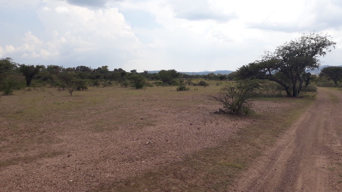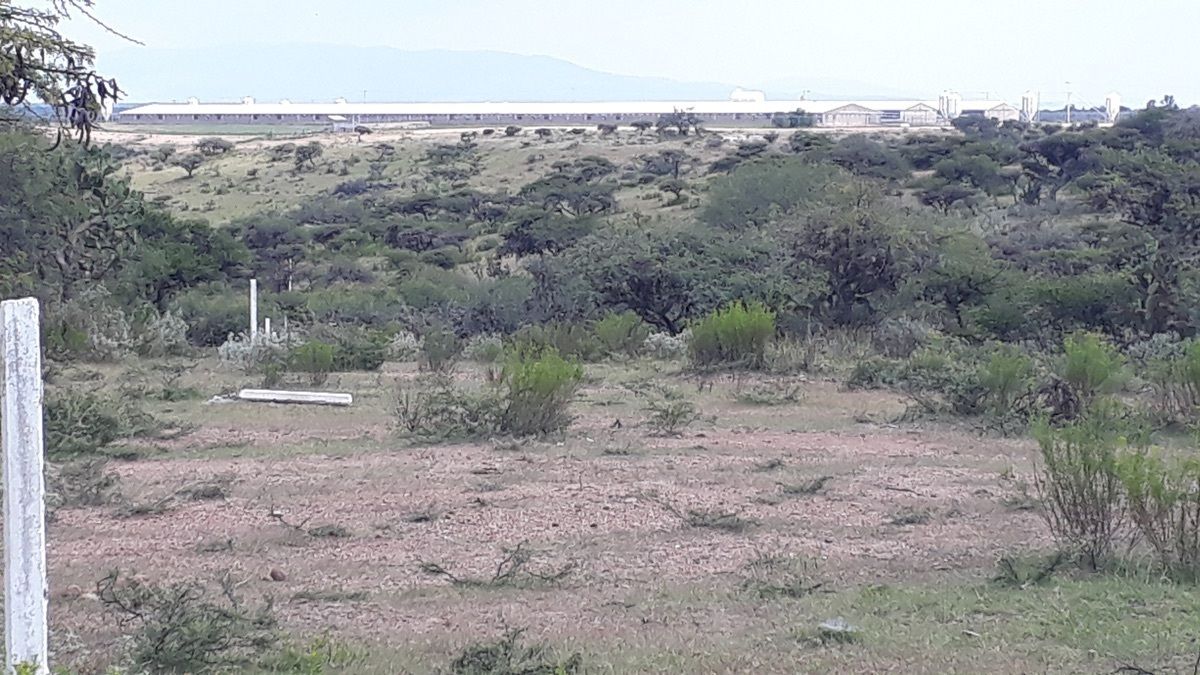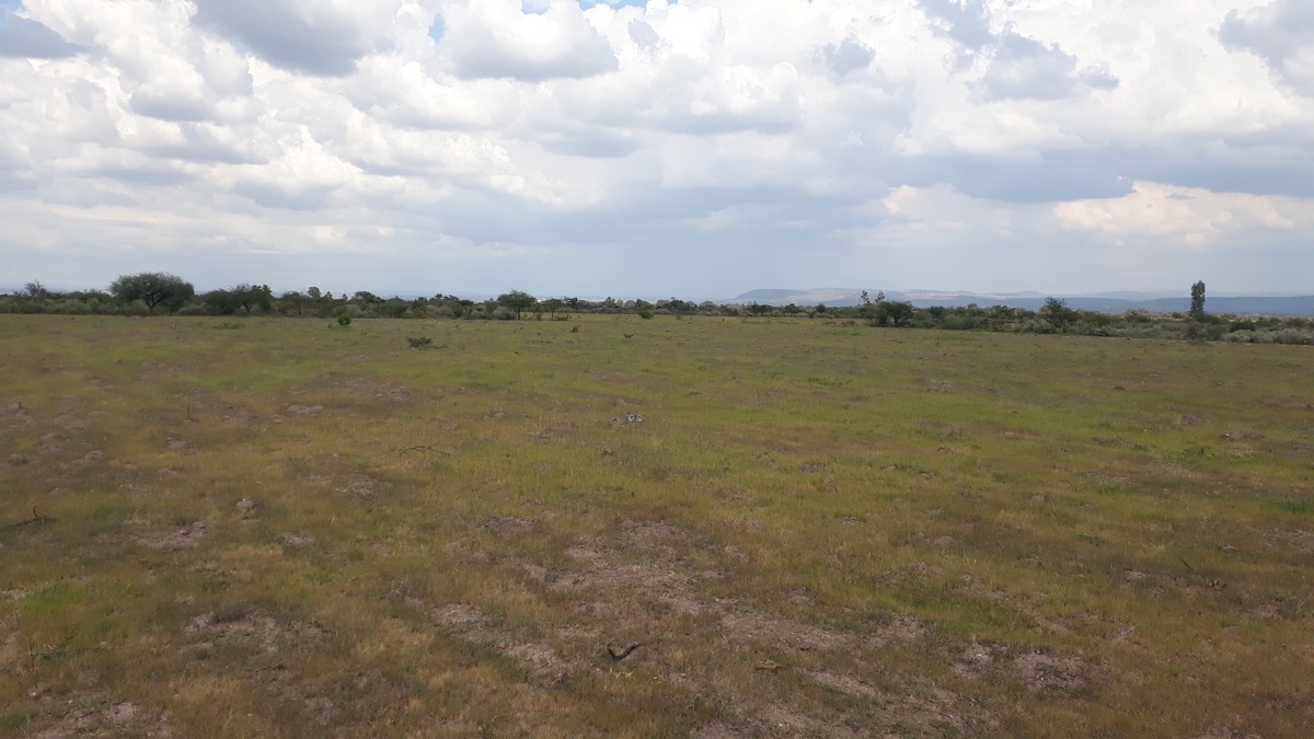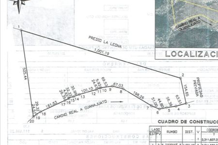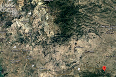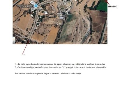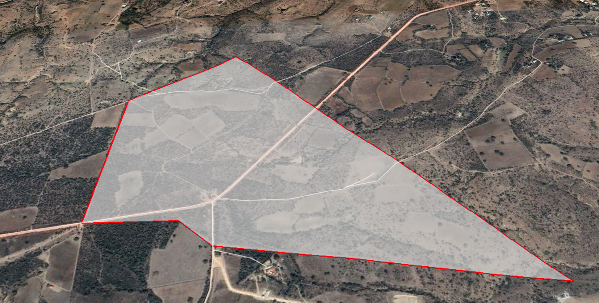
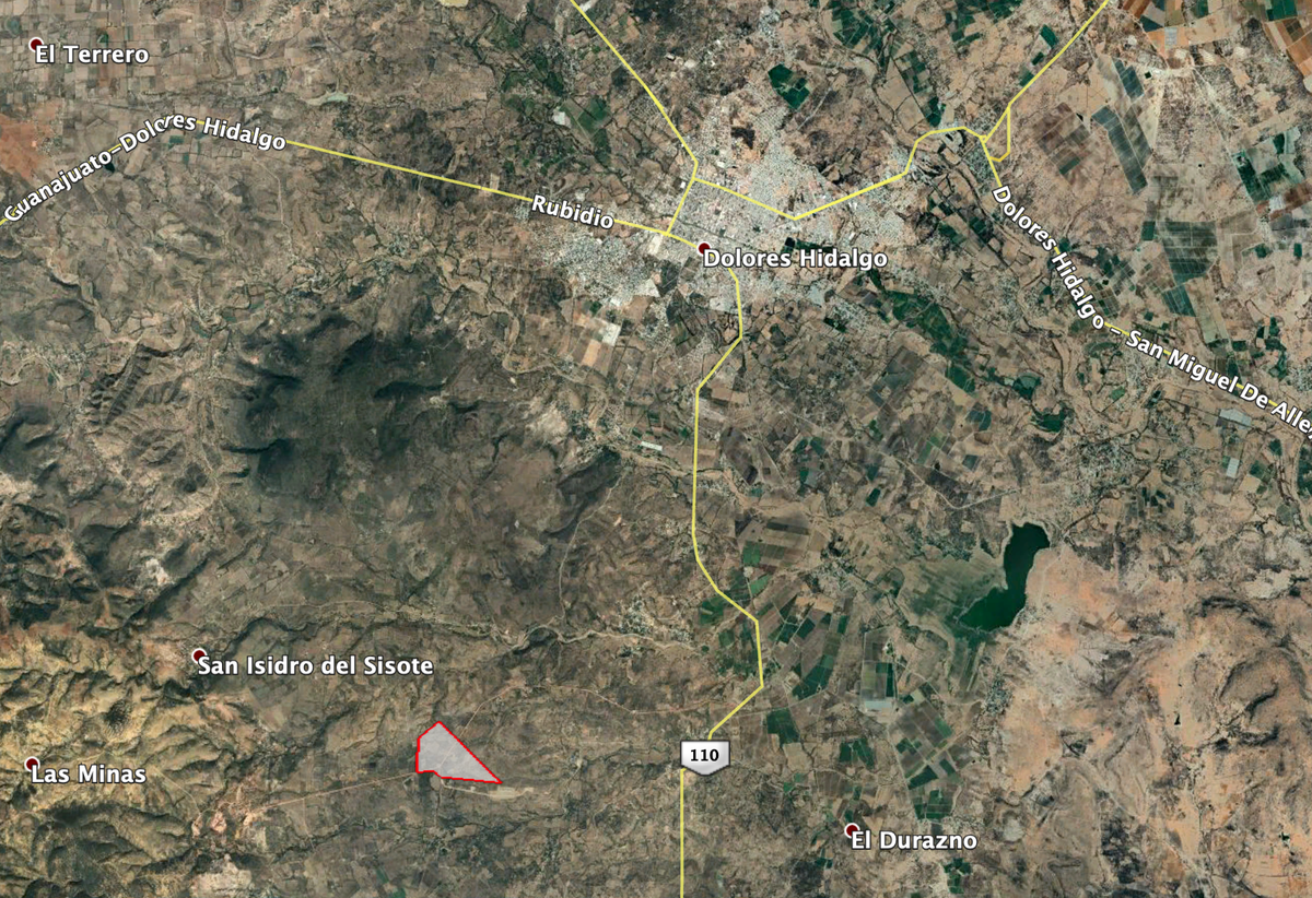
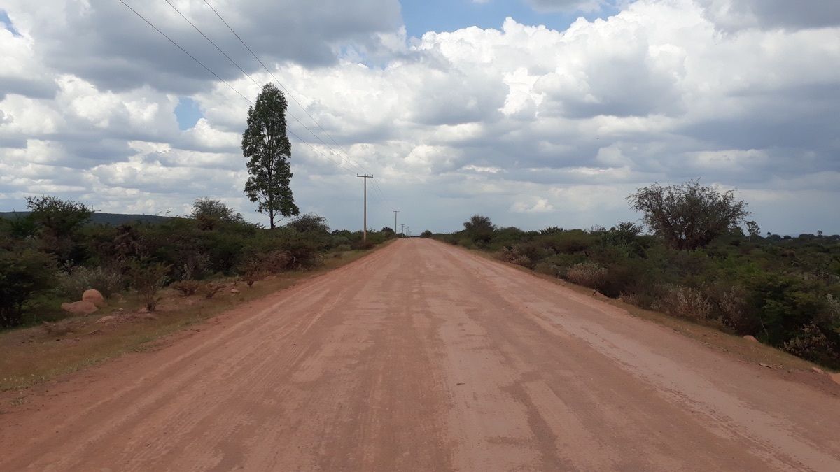

Location:
Km 5.7 of the dirt road to San Antón de las Minas whose access on the left is at Km 9+200 m from the 110 Dolores Hidalgo road to Xoconoxtle. Altitude 2,030 meters above sea level.
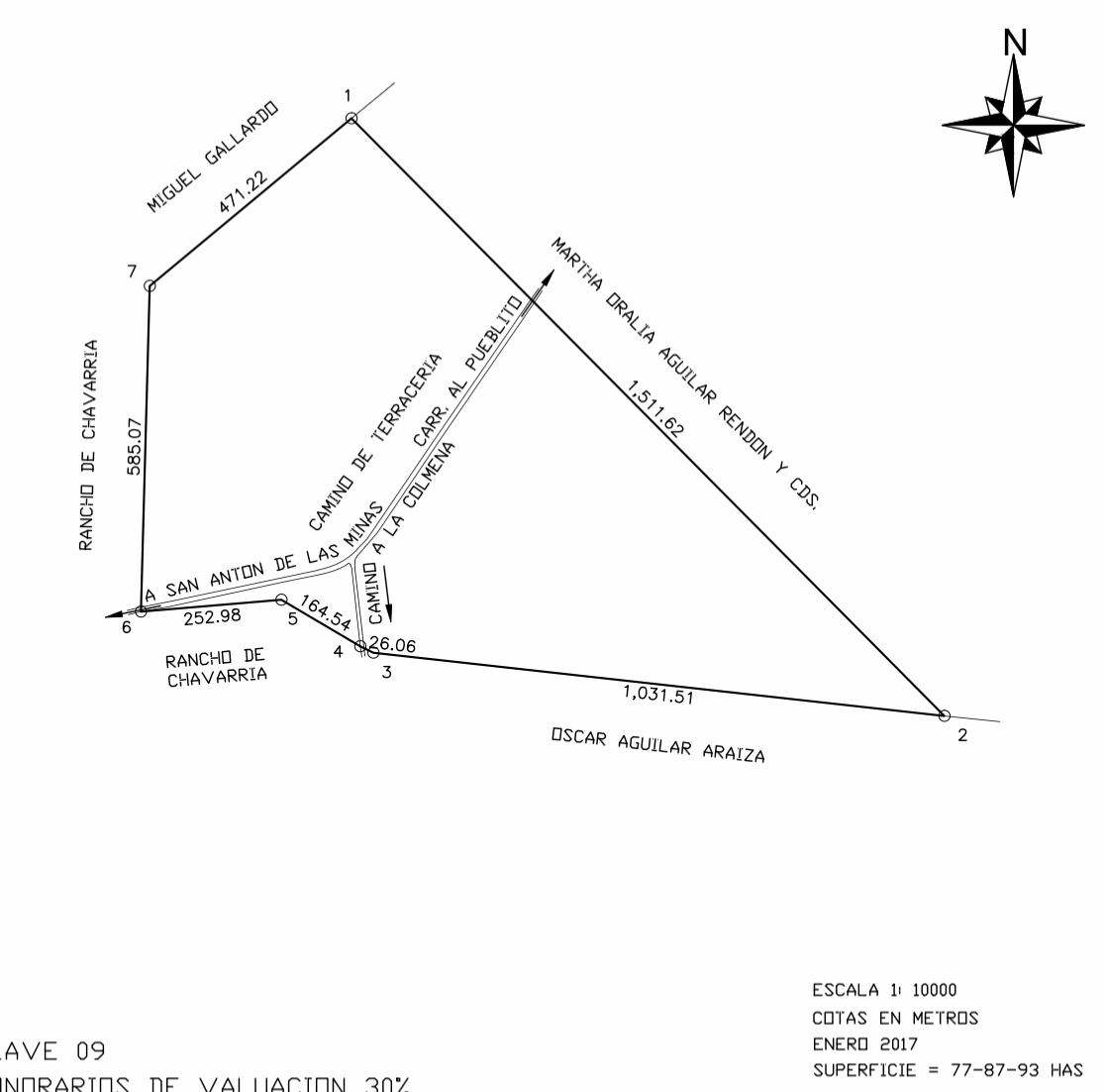
Dimensions:
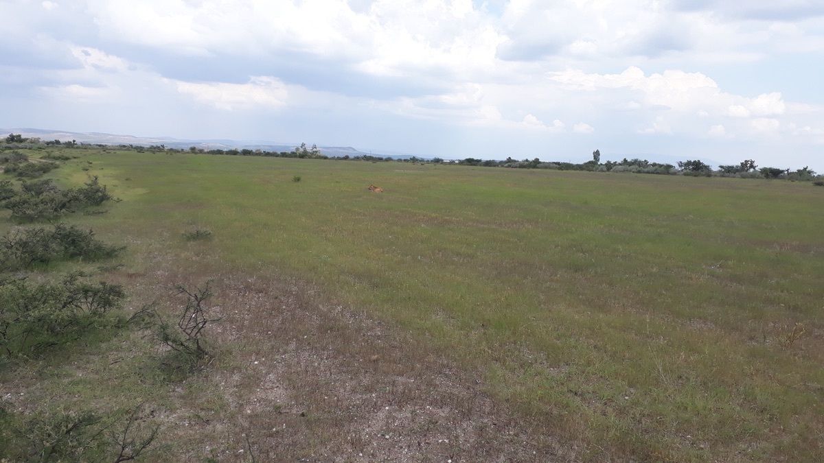
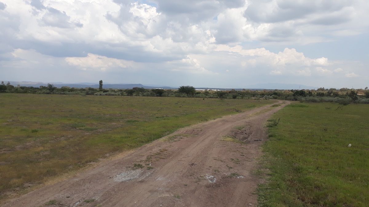
The property has 77.88 hectares, equipping the well and building a pond of at least 1,200 m3, has the potential to cultivate 52 hectares of row crops and 12 hectares of fruit trees.
Assets and benefits:
• Current concession for groundwater exploitation of 245,000 m3, a quantity that allows another additional well to be drilled for greater expense.
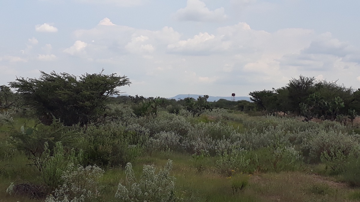
• 490 m deep well, in addition to 14” steel by 250 m and 10” by 240 m, unequipped and with a guaranteed capacity of 11.7 Lt/sec to 378 m, or 950 m3 per day.
• CFE three-phase power line along 840 m from the central boundary and less than 30 m from the deep well.
• Partial fencing with wooden stakes and 3-wire barbed wire approximately 1,480 m, new concrete posts every 10 m without wire approximately 1,040 m and the rest unfenced.
Google Maps link
https://goo.gl/maps/bJ6syKkiX56e6etv7Ubicación:
Km 5.7 de la carretera de terracería a San Antón de las Minas cuyo acceso a la izquierda está en el Km 9+200 m de la carretera 110 Dolores Hidalgo al Xoconoxtle. Altitud 2,030 msnm.
Dimensiones:
El predio tiene 77.88 Has, equipando el pozo y construyendo un estanque de al menos de 1,200 m3, tiene un potencial de cultivar 52 Has de cultivos en hileras y 12 has de frutales.
Activos y ventajas:
• Concesión para explotación aguas subterráneas vigente de 245,000 m3, cantidad que permite perforar otro pozo adicional para mayor gasto.
• Pozo profundo 490 m, ademe de acero 14” en 250 m y de 10” en 240 m, sin equipar y con aforo garantizado de 11.7 Lt/seg a 378 m, o 950 m3 al día.
• Línea eléctrica trifásica de la CFE a lo largo de los 840 m del lindero central y a menos de 30 m del pozo profundo.
• Cercado parcial con estacas de madera y alambre de púas a 3 hilos 1,480 m aproximadamente, postes de concreto nuevos cada 10 m sin alambre 1,040 m aproximadamente y el resto sin cercar.
link googl maps
https://goo.gl/maps/bJ6syKkiX56e6etv7
La Venta, Dolores Hidalgo Cuna de la Independencia Nacional, Guanajuato


By continuing, I agree to the Terms of Service and Privacy Policy.