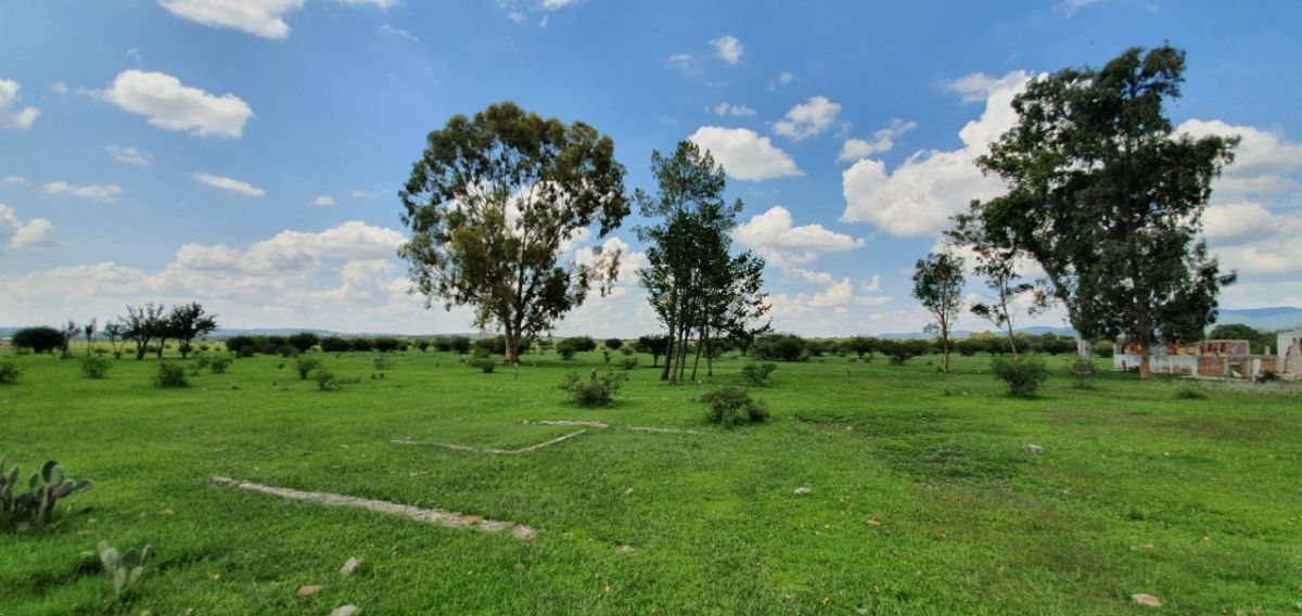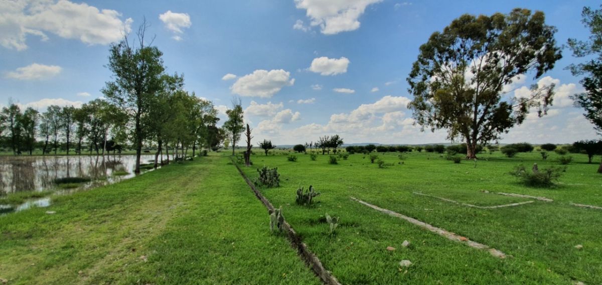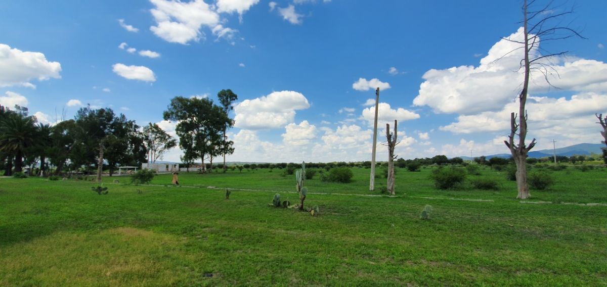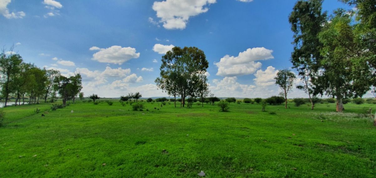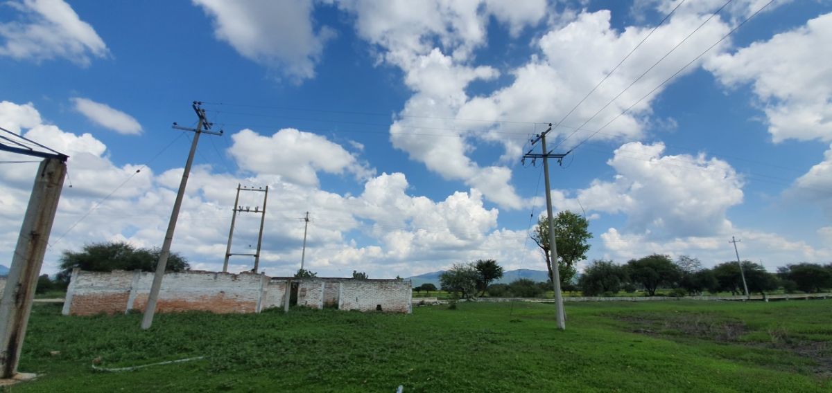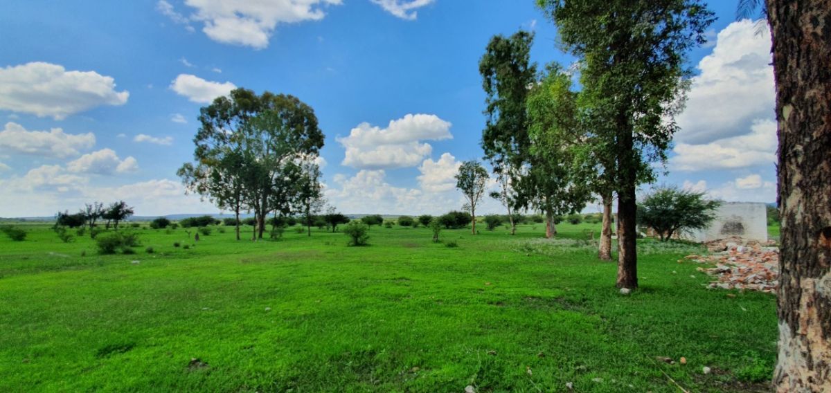
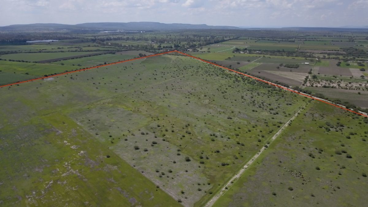
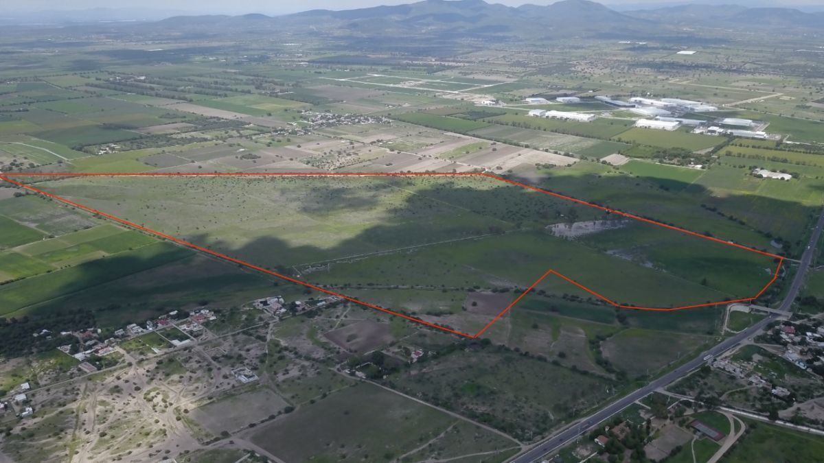
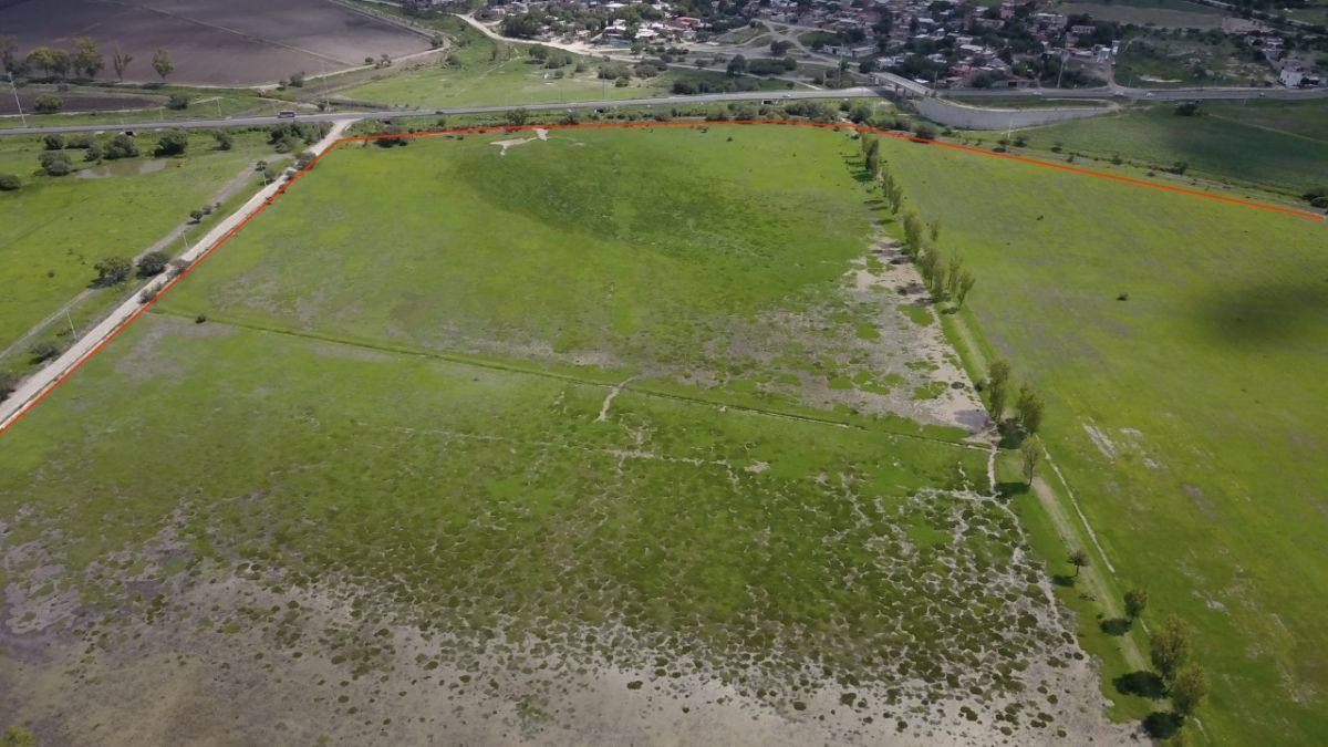
Flat, irregular country area with electricity and water well, 6 km from San Miguel de Allende, on the way out to Querétaro.
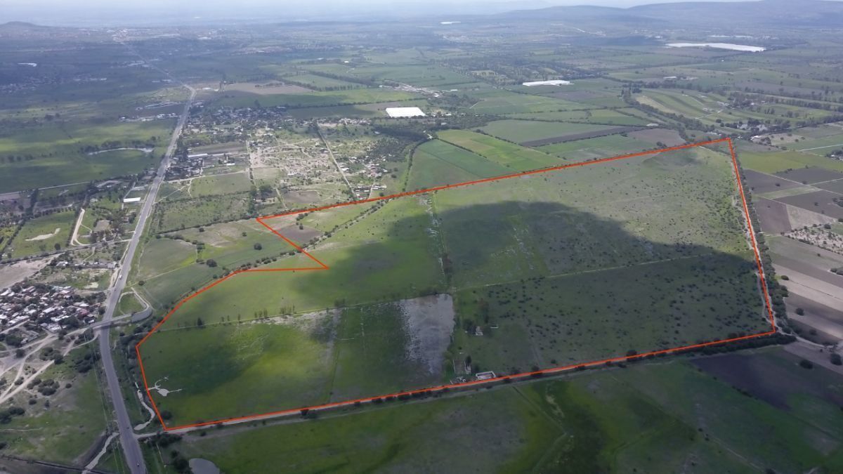
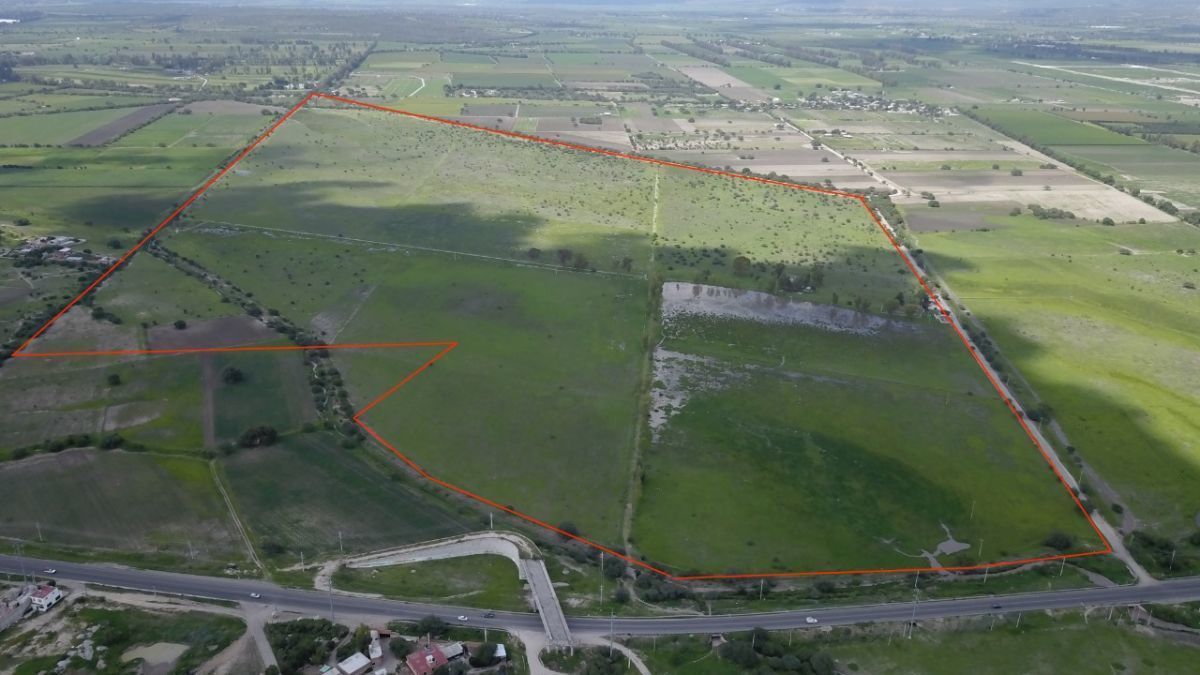
There are 110 hectares, 72 areas and 15 centiareas.
Measures: to the north: 1,528 m., with the definitive ejido of Puerto Nieto.
To the south: in a line that goes from east to west, it measures first 51.00 m., then 197.00 m., then 165.00 m., then 109 m., then 190 m. and finally 376 m., bordering on this road with the fraction called the red cross, on the way from Querétaro to San Miguel de Allende.
To the east: 856.00 m., and 32.00 m., with the final ejido of Puerto Nieto.
To the west: 1734.00 m., with the small property of El Corralejo.Zona campestre, plano, irregular, con luz y pozo de agua, a 6 km de san miguel de allende, a la salida a Querétaro.
Son 110 hectáreas, 72 áreas y 15 centiáreas.
Medidas: al norte: 1, 528 m., con el ejido definitivo de puerto nieto.
Al sur: en línea que va de oriente a poniente, mide primero 51.00 m., luego 197.00 m., luego 165.00 m., luego 109 m., luego 190 m. y por último 376 m., lindando por éste rumbo con la fracción denominado la cruz colorada, camino de Querétaro a san miguel de allende.
Al oriente: 856.00 m., y 32.00 m. con ejido definitivo de puerto nieto.
Al poniente: 1734.00 m., con la pequeña propiedad del corralejo.


By continuing, I agree to the Terms of Service and Privacy Policy.