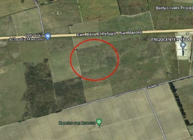
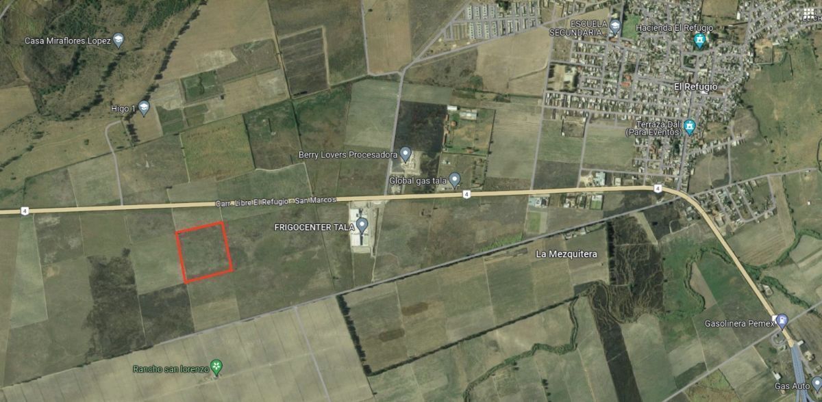
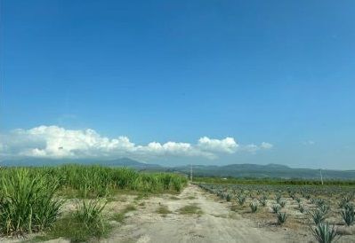

Land of 4.26 Hectares or 42,619.90 Mt that is located in Tala, Jalisco on the El Refugio - San Marcos highway.
Its land use allows for Agricultural and Industrial activities and the predominant construction in this area is for industrial buildings.
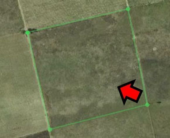
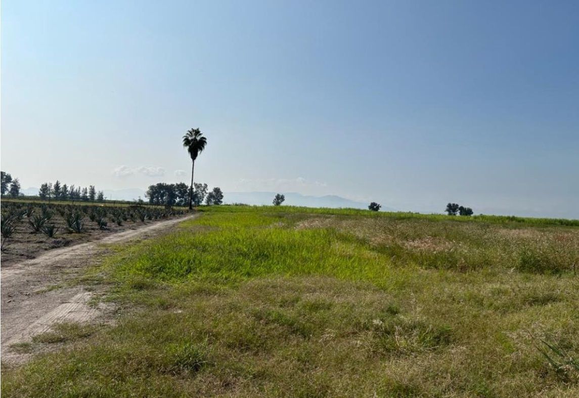
Its topography is flat.
Measures and boundaries of the land: TO THE NORTHEAST: IN 2212.29 Mt WITH A GAP, TO THE SOUTHEAST IN 198.06 Mt WITH PLOT 703, TO THE SOUTHWEST IN 217.52 Mt WITH A GAP AND TO THE NORTHWEST IN 199.32 Mt WITH PLOT 669.Terreno de 4.26 Hectáreas o bien 42,619.90 Mt que está ubicado en Tala, Jalisco por la carretera libre El Refugio - San Marcos.
Su uso de suelo permite actividades Agrícolas e Industriales y la construcción predominante de esta zona es de Naves Industriales.
Su topografía es plana.
Medidas y colindancias del terreno: AL NORESTE: EN 2212.29Mt CON BRECHA, AL SURESTE EN 198.06Mt CON PARCELA703, AL SUROESTE EN 217.52Mt CON BRECHA Y AL NOROESTE EN 199.32Mt CON PARCELA669.


By continuing, I agree to the Terms of Service and Privacy Policy.


