

Santa Rita Tlahuapan
Coordinates 19°19′52″ N 98°34′54″ W
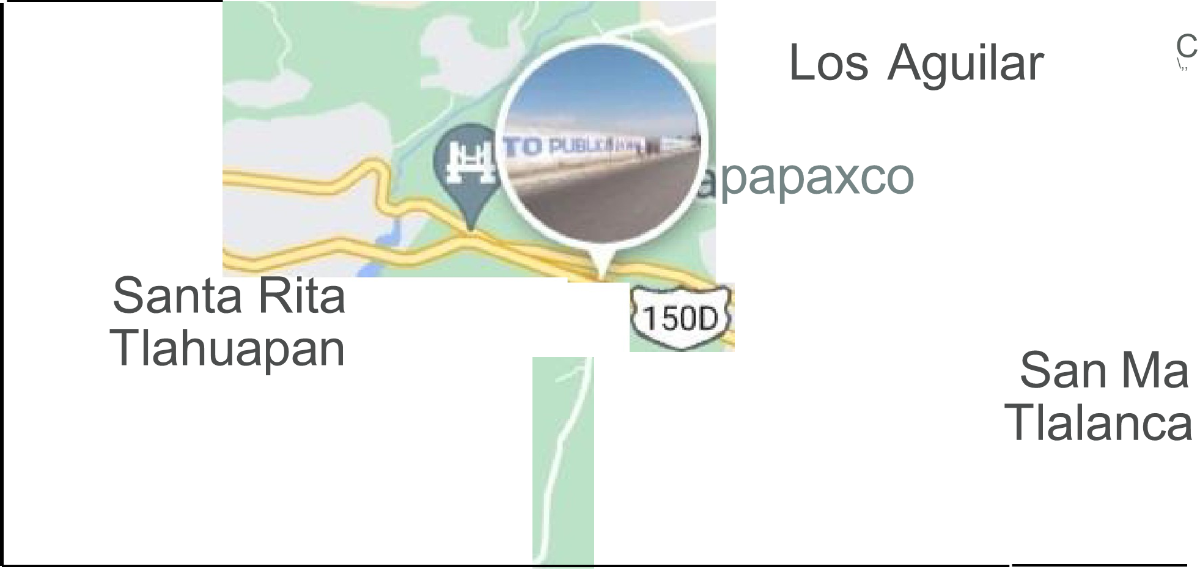
Santa Rita Tlahuapan is a Mexican town at the head of the municipality of
Tlahuapan, which in turn belongs to the state of Puebla. In this place they are dedicated
its inhabitants mainly to agriculture and livestock. Also in this
Where grapes have started to be aged for Puebla's own red wine,
beginning the first vineyards in the state.
The climate that predominates in this region is temperate.
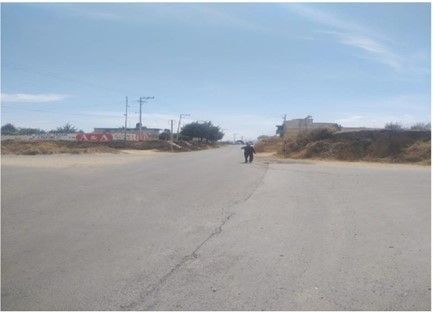
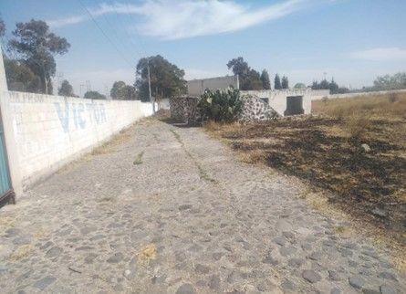
Located in the direction of Mexico City on foot
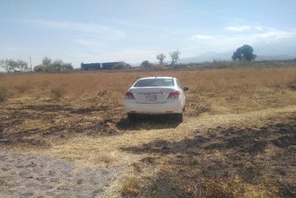
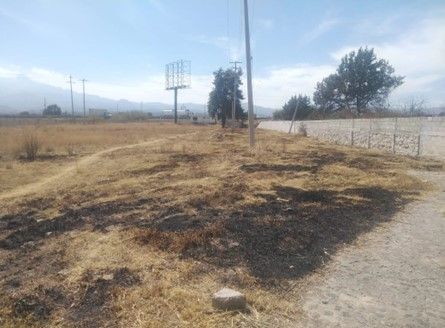
road with electricity and water services. It has an area of 10,000 m² (ten thousand square meters), with a significant topography
flat. A hectare completely fenced and with access to the federal highway and derivative highway that is in the middle of the 2 roads, on the one hand the
return exit in the direction of the city of Puebla and on the other hand the federal highway.
WE HEAR OFFERS!!!!
Ideal for warehouses, condominiums, housing developments, shopping malls, hotels, trailer fleet parking, etc.Santa Rita Tlahuapan
Coordenadas19°19′52″N 98°34′54″O
Santa Rita Tlahuapan es una localidad mexicana cabecera del municipio de
Tlahuapan que pertenece a su vez al estado de Puebla. En este lugar se dedican
sus pobladores principalmente a la agricultura y ganadería. También en este
lugar se ha comenzado a la crianza de uva para el vino tinto propio de Puebla,
comenzando los primeros viñedos del estado.
El clima que predomina en esta región es templado.
Ubicado en dirección de la ciudad de México a pie
de carretera con servicios de luz y agua. Cuenta con una superficie de 10,000 m² (diez mil metros cuadrados), con topografía sensiblemente
plana. Una hectárea totalmente bardeadas y con acceso de la carretera federal y autopista derivado que está en medio de las 2 vías, por un lado la
salida del retorno en dirección de ciudad de Puebla y por otro lado la carretera federal.
SE ESCUCHAN OFERTAS !!!!
Ideal para bodega, condominios, desarrollo habitacional, centro comercial, hoteles, estacionamiento para flotilla de tráileres, etc.


By continuing, I agree to the Terms of Service and Privacy Policy.